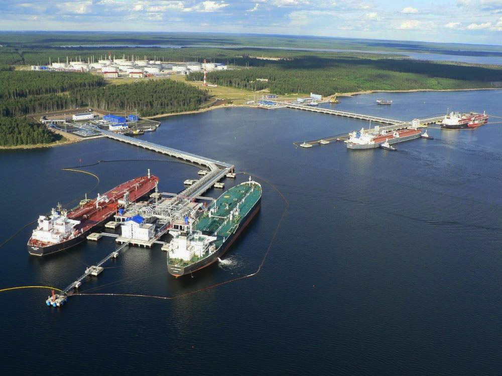
The port of Primorsk is located in the deep-water part of the Bjerkesund Strait, 4 miles south-east of the city of Primorsk.
Port coordinates:
Latitude = 600 15,30’ N — 600 21,25’ N
Longitude = 280 38,73’ E — 280 50,00’ E
The depth and infrastructure allow the port of Primorsk to service vessels with the following parameters:
- Maximum length — 307 meters;
- Maximum draft — 15 meters;
- Maximum displacement -150 thousand tons.
The port has:
- towing fleet to ensure safe mooring and unmooring of tankers;
- specialized fleet for the reception of dirty and bilge water, household garbage from tankers;
- equipment for the elimination of emergency oil spills, as well as tanks for collecting oil from the water surface and from the shore;
There are services in the port:
- Inspection of State Supervision;
- Pilotage service;
- VTS — Vessel Traffic Management Service;
- Customs post «Primorsk Seaport».